(Reload this page if some of the images are blank. Click on any image for a larger view.)
My bike tour around the Big Island of Hawaii finds me in Hilo, the halfway point. With a few days' layover, I'm eager to connect with an old friend.
My room is on the exact opposite side of Hilo Bay from the Bayshore Towers, where I was headed – by bike of course – to meet up with Lyz for a multi terrain ride somewhere between her building and the upslope foothills of Mauna Kea.
- - -
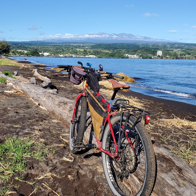
[This photo shows it all: Rosalita headed in the right direction, Hilo Bay, Bayshore Towers, and Mauna Kea summit.]
- - -
Biking across town, everything feels different today.
Firstly, Rosalita is stripped of heavy panniers normally full of provisions and is suddenly pretending to be a lightweight race bike twitching and swerving to my slightest handlebar input.
As well, Hilo itself seems different than the other populated areas I’ve been to on the Big Island. There’s a feeling like this village on the bay isn’t too interested in supporting hordes of tourists in hotel-towers like in Kona or especially like Honolulu.
It seems like a working-class town where residents are getting along with a normal life, but still tolerate a few cruise-ship haoles supporting the economy while spending money on Kamehameha Ave.
- - -
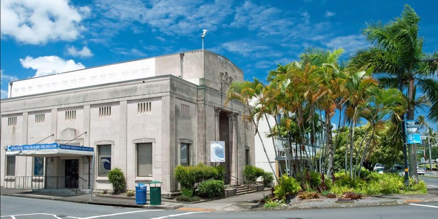
[The Pacific Tsunami Museum. Photo Credit: https://www.viaggiareallehawaii.it]
- -
On my left I pass the Pacific Tsunami Museum, a stout and stocky granite building with outlines of oversized blocks showing on its outward facing walls.
It looks as though it could withstand a tsunami in its own right.
This got me thinking if tsunamis could be a reason Hilo hasn’t been built up like other Hawaiian tourist destinations.
Researching online, Hilo does have a few things that frighten many tourists: rain, earthquakes, threat of death by lava flow and, yes, a tumultuous history with tsunamis.
And don't forget that one of the Rockefellers lured the tourists away from Hilo (to the Kona side of the island) starting in 1965 by creating the elite Mauna Kea resort.
- - -
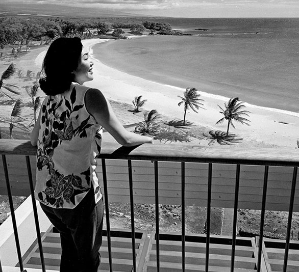
[The beginnings of a tourist anchor in Kona. Photo Credit: Mauna Kea Resort: https://www.maunakearesort.com/culture/history]
- - -
But the tsunamis got my attention after first hearing about how the town got slammed in 1946 then again in 1960.
On April 1st, 1946 at 3:30 AM, an 8.6 earthquake struck the Aleutian Island chain in Alaska.
The violent shaking instantly wiped out the Scotch Cap Lighthouse on Alaska’s Unimak Island along with all 5 lighthouse keepers stationed inside.
Back in Hawaii, the islanders were fast asleep. But even those that may have been up and about a 3:30 am, the quake lay too far away to be felt with any intensity.
But at its epicenter, a tsunami was created and was racing across the ocean.
At roughly 2500 miles distance across a vast portion of the Pacific, a wave of 55 feet was hurling in all directions at an estimated 500 mph.
During the next 4½ hours as Hilo’s early risers began their day, April Fool's Day no less, there was no forewarning, no announcement, nothing to alert anyone about what had happened so far away and what was about to happen to their little village on the bay.
Eyewitness accounts recall that residents down near the shore started noticing a very strange phenomenon, that the bay water started receding.
It must have seemed surreal since the water had not yet reached the high-tide level and should have been going the opposite direction.
The bay water kept vanishing. First slowly, then more quickly.
Many of the towns' people took notice and ran down to the bay’s edge. The muddy bottom of the bay was clearly visible now.
So was the lower foundation of the bay’s boulder breakwater. That's over a mile of baron ocean bottom from the beach. Fish were seen flipping in the mud.
Such a sight must have seemed more than just strange, but positively ominous. All the water in the bay, disappeared? One hell of an April Fools prank.
Residents then cast their sights beyond the stranded fish and breakwater to the outer ocean.
In the open waters, a 55 ft wave wouldn’t seem too out of place on any Hawaiian shore, but a tsunami isn’t a normal wave.
Its massive below-the-surface-energy starts to react to the oceans bottom quicky becoming shallow and rising towards the surface, pushing the water into an extremely high wave.
55 feet quickly grew to about 138 feet in a wall of water that was pushing forth, slowing and teetering, but sucking and digesting all the bay water in a frothing whirling black mess of rock, sand, mud and any other bay debris you can think of.
Everyone reported that the growing sound and vibration was horrific.
Hilo Bay was subjected to a watery bull dozer more powerful than any man-made smoke belching diesel powered plow. The wave cleared everything in its path.
- - -

A glimpse of the incoming wave in 1946. [Photo Credit: The Pacific Tsunami Museum]
- - -
It hit the northern facing shores of Kauai island, Maui island and Hilo Bay in a simultaneous act of devastation.
173 of Hilo’s residents perished. 163 were injured. 488 structures were destroyed and another 936 were damaged.
It would take a very long time to get poor Hilo back on track. In many ways, it was never the same.
Yet in just 14 years, another tsunami hit. This time from an earthquake on the coast of Chile.
The largest earthquake ever recorded by human instruments, a 9.5, some 6600 miles to the south and southeast.
This quake was so massive that it sent tsunami waves rolling across every ocean on earth, with the larger waves causing damage.
At 1:00 AM on May 23rd, 1960, the wave (actually a series of smaller waves about 8 feet, then another series of waves about 35 feet) pushed and shoved their way inland causing more havoc for Hilo residents.
The speed and distances are stunning to think about, in that the waves travelled several hundred miles per hour, over 6600 miles then hit the Hawaiian Islands after 15 hours barreling across open ocean.
If you booked a flight from Santiago Chili to Honolulu, you’d been in flight for about 14 hours. In a race across the Pacific, your flight would beat the waves by a single hour.
These disasters eventually prompted the creation of the Seismic Sea Wave Warning System, later renamed the Pacific Tsunami Warning Center – with Honolulu as its headquarters.
The history of Hilo is tightly bound to these waves, but also shaking and running lava from the nearby active volcanos.
Past the museum now, I cross over a bridge spanning the Wailuku River flowing into the Bay. It’s a beautiful setting and I feel Hilo tugging on me.
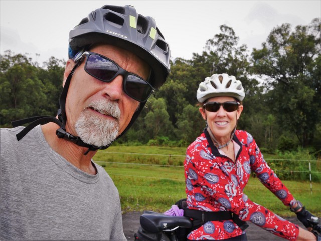
Finally, I see a familiar cyclist up ahead I've not seen for years. We high-five then Lyz quickly takes the lead as we bike through a few narrow gaps between roads then find the main route up and out of town.
In just a few minutes, we’re up on high ground and surrounded by open land of farms and some elegant homes. In typical tropical weather, the sky is a heavy mix of grey and light blue.
- - -
- - -
We keep climbing.
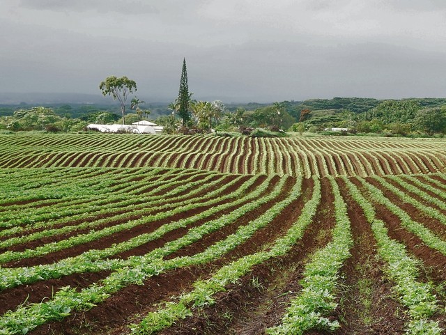
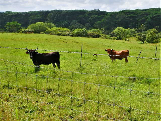
There are cows, horses and fields of dark tilled soil. The potatoes here are the pride of the locals and Hawaiians, infused with special colors and flavors from the kilokilo earth.
- - -
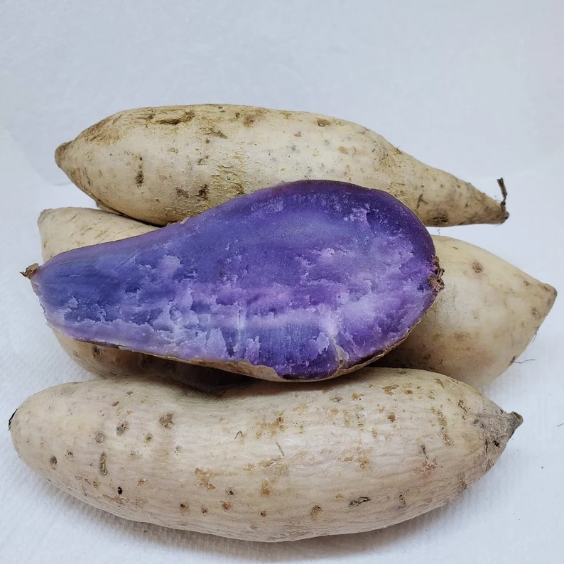
Known as the Okinawan Sweet potato (or Purple Yam or Beni-mo) it’s purple inside and considered a superfood with ingredients like potassium, vitamin C and lots of beta-carotene.
- - -
We traverse the slopes along gravel tracks. A car pulls up and the woman and Lyz have a friendly conversation.
Virginia and I have known Lyz for a long time and she’s one of our most cherished friends. She also knows a lot about the Hawaiin Islands in general and in the time she’s lived in this area seems to know just about everything about everything here.
As we bike along, she gets me up to speed about the feral pig problem (I've also noticed the feral cat problem) private property disputes, how VOG (aka volcanic smog) drifts over from the caldera and the best (and worst) places to live on the Big Island.
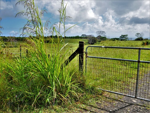
We meander along backroads and cut-through's. Views of the bay and town below play peekaboo between the swaths of wild sugar cane and sandalwood trees.
Mostly car-free, we have our way with the streets leading back down, passing coffee fields, cacao and macadamia nut trees, farms, fields of ginger and pastureland.
- - -

- - -
In a few spots we’re really zooming downhill, and it feels great to fly along unincumbered by bike touring baggage.
Lyz escorts me back through town, across the bridge, along the bay shoreline, the beach park then cuts me loose after we near the airport.
It’s been my first taste of Hilo, with lots of perspective and local insight thanks to my friend and guide.
But I’ll be back in a week and already am looking forward to returning. In a few days Virginia will landing at the cute little Hilo airport and staying with Lyz while I continue on with my trek around the island.
Although I love traveling by bike, the thought of reuniting with wife in this special place, while visiting with our best friend has got me electrified. I've mentioned this in an earlier story but ripping me off this island could prove to be quite an ugly affair, YouTube worthy in the least.
The next day our group will spend the day exploring as we take a 4x4 van out of Hilo to the summit of dormant Mauna Kea.
More on that outing next time. Spoiler Alert: The summit is cold cold cold.
- - -
If you'd like to share your thoughts or have stories from your adventures in Hawaii, comments are encouraged! Use the form below, the comment password is: life is good
- - -
Resources & further reading:
Pacific Tsunami Museum
http://tsunami.org/
Seattle Times
https://www.seattletimes.com/life/travel/hilo-with-few-tourists-its-how-hawaii-used-to-be/
Honolulu Star Advertiser
https://www.staradvertiser.com/2011/04/01/breaking-news/hilo-residents-remember-1946-killer-tsunami/
The Mauna Kea Resort
https://www.maunakearesort.com/